|
This journal is written daily, usually after a day of driving
and sightseeing, so the spelling and grammar may not be the
finest because it was written when I am/was tired. The photos have had
the basic Tony Morganti Lightroom treatment.
Wednesday 6 May 2015,
Arrived at Adelaide Airport at 7:00am for our 9:15am departure
to Singapore. Check in with Singapore Airlines was easy. Customs
and Emigration didn't open until 7:30am and so breakfast in the Lounge was delayed for nearly half an hour. The flight
from Adelaide to Singapore was a 7 hour flight on an A330 - 300.
Watched 3 movies (American Sniper, Still Alice and McFarland
USA). Arrived in Singapore at 2:45pm local time. Booked
ourselves into the 6:00pm free 2 hour tour of Singapore. This is
either run by the Singapore Government or Changi Airport. Either
way it will kill a few hours of our 8 hour wait here. Our Swiss
Air flight leaves for Zurich, Switzerland at 11:15pm.
 |
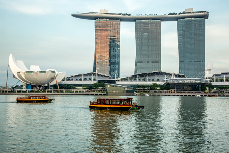 |
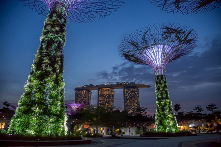
The bus tour of Singapore was short. We had two half hour
stops to take photos and look around at sunset. Then a quick
pass of Chinatown and then back to the airport by 8:00pm. The
outside temperature was about 30˚C and 80 percent humidity. It
was enough to make us drip with perspiration.
Thursday 7 May 2015,
Arrived in Zurich at 6:00am local time after a 13 hour Flight
from Singapore. Our flight to London left an hour later. We
arrived in London just after 8:00am local time. It took about 20
minutes to clear Emigration and Customs. We eventually found out
where to catch the shuttle bus that took us to Europcar car
hire. We were given a white automatic Toyota, but on closer
inspection it have a flat battery and wouldn't start. So we were
upgraded to an automatic Mercedes B180 - CDI. This car took a bit of
getting used to. There is no T bar, instead there is an arm
where we have our turning indicators, which selects drive,
reverse, park etc. Twice today while doing a left hand turn, I
used this control by mistake, putting the car into neutral
as we went around the corner. So power on out of the corner
resulted in massive engine revs and nothing more. We finally
left London at about 10:00am and headed for Salisbury.
|
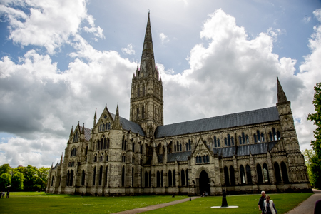
Salisbury Cathedral, Wiltshire |
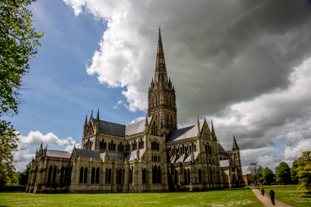
Salisbury Cathedral, Wiltshire |
|
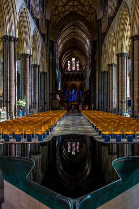
The Nave of
Salisbury Cathedral, Wiltshire |
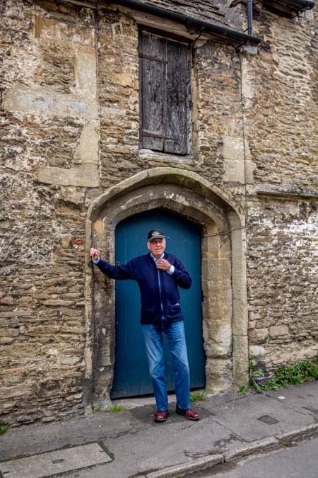
Local man, Leo in Lacock, Wiltshire |
We found a car park within walking distance of the cathedral,
paid our ₤2.50 and spent about an hour and a half exploring the
Cathedral and surrounds. We then headed off to Lacock, met a
talkative old fellow named Leo who was standing outside his house
having a cigarette. We wandered around and took some photos.
There is a lot of restoration work being done.
|
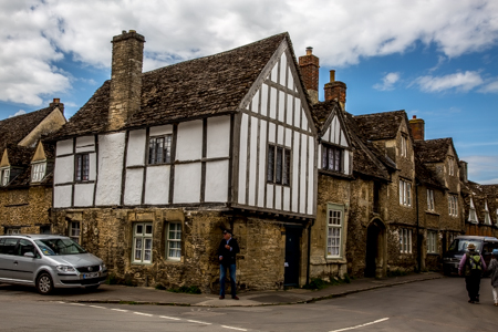
Lacock, Wiltshire |
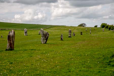
Ayesbury, Wiltshire |
We then drove to Ayesbury but only stopped long enough to see
the stones outside the village. We had a quick glimpse of the
stones in the village as we drove through. Finally we drove to
Stonehenge. Did a self guided tour and took a lot of photos.
|
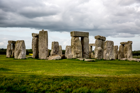
Stonehenge, Wiltshire |
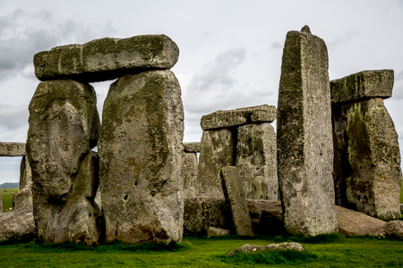
Stonehenge, Wiltshire |
At about 5:45pm we made the half hour trip to The Bath Arms
at Longleat, had dinner at the pub. I tried a "half" of Sharp's
Doombar Rock Cornwall beer. It was warm, flat and hardly
resembled what we call beer. We to bed about 9:30pm. We were not
very impressed that our room is on the top floor and we had to
carry our luggage up the narrow stairs. Particularly as we are
only staying here for one night.
|
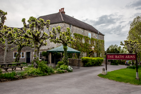
The Bath Arms, Longleat |
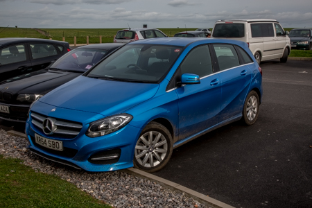
Our hire car |
Friday 8 May 2015,
We finished breakfast and were on the road by about 8:45am. We
headed straight to Looe via Exeter and Plymouth. The journey
took just over 3 hours. The fancy Mercedes hire car kept
flashing up a warning message that there wasn't enough pressure
in the back passenger side tyre. It seemed to think there were
three passengers in the back seat and also three suitcases in
the boot and hence the back tyres needed more pressure. We
finally found the tyre pressure table and increased the pressure
in the rear tyres to the recommended 44 psi.
As we drove the weather started to close in and eventually it
began to lightly rain. We arrive in Looe at midday and it was
threatening to rain. I vaguely remembered Looe from my visit
about 40 years ago. We walked over the bridge and beside the
harbour. We had scampi and chips for lunch (₤12.50 for two) and
then headed off towards hotel, The Old Ferry Inn, in Bodinnick.
|
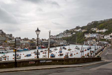
Looe, Cornwall |
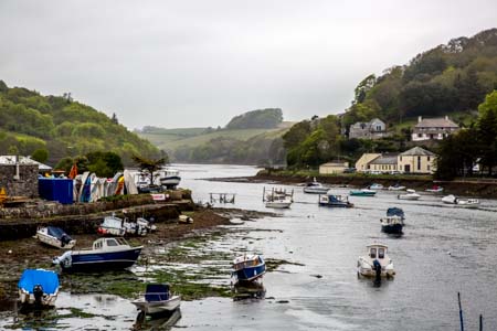
The tide is out at Looe, Cornwall |
We stopped along the way for a couple of rural photo stops
|
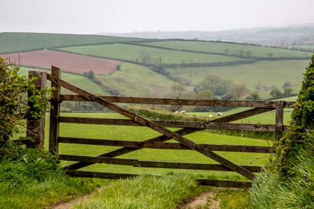
The countryside between Looe and Bodinnick, Cornwall |
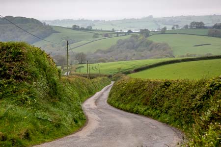
The countryside between Looe and Bodinnick, Cornwall |
When we arrived, the geography of Bodinnick and Fowey became
evident. Our map showed a maze of lines, which just added to our
confusion. Bodinnick and Fowey are two small towns separated by an estuary. To
get from one side to the other one has to take the ferry (₤1.70
per person each way). We took the ferry for the 100 metre
journey across the estuary and spent time exploring the streets
of Fowey. There was a cold wind blowing and a little drizzle. So
the town looked a little dull. However the steep streets and the
sounds of the gulls made it look like a movie set for Doc
Martin.
The Old Ferry Inn is on a steep hill which overlooks the ferry.
Our room is on the top floor and is accessed again by narrow
winding stairs. The view from the two windows makes the climb
worthwhile. The bed is comfortable and the windows can be opened
to cool the room down if the central heating becomes over
bearing. All in all it is a good room with every modcon we could
ask for. There is free WiFi but that is only available down in
the Lounge on the ground floor.
|
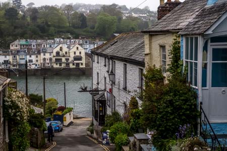
Looking down the street past our hotel towards the
estuary, Fowey, |
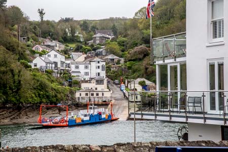
The ferry with our hotel in the background, Bodinnick,
Cornwall |
|
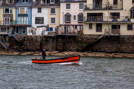
Fisherman on the estuary, Cornwall |
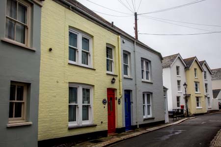
The main street of Fowey, Cornwall |
|
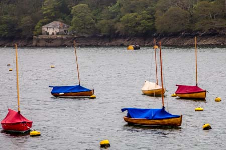
Yachts on the estuary taken from Fowey, Cornwall |

The view from our hotel window, looking towards Fowey,
Cornwall |
We had an early dinner at Pinky Murphy's cafe and headed back to
the ferry and our hotel. Saturday
9 May 2015,
It was light at 5:30am. It was raining and looked as though it
was going to rain all day. I sent a couple of emails to friends
telling them it was raining. By the time we had finished
breakfast at 8:45am the clouds were breaking up and there were a
few patches of blue sky visible.
At about 9:00am we set off to Tintagel, the legendary birthplace
of King Arthur.
|
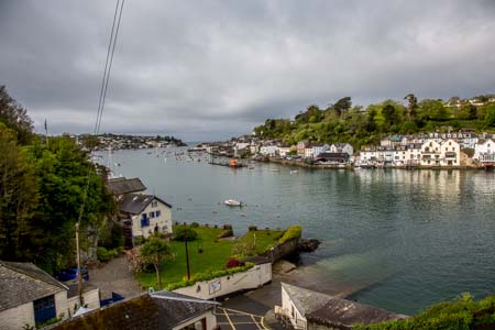
Looking from our Hotel room across the estuary to Fowey,
this morning. |
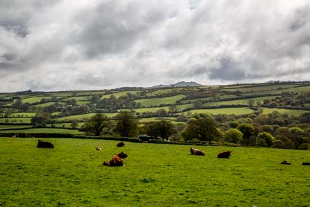
Verdant pastures on the way to Tintagel, Cornwall |
|
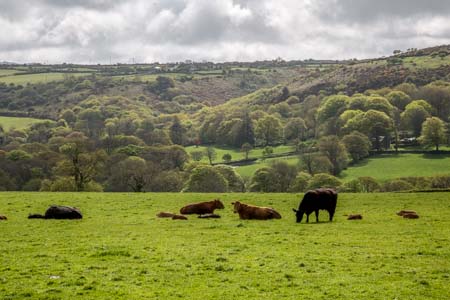
Verdant pastures on the way to Tintagel, Cornwall |
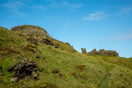
Looking up at The Keep as we approach Tintagel castle,
Cornwall |
We arrived at the township at 10:15am and pulled into the car
park. The sign at the entrance said "parking all day from
₤1.00." As we pulled in the driver in, the car next to us warned
us the sign was misleading. It turns out motorbikes could park
at these reduced rates, but cars had to pay the standard ₤1.00
per hour. We paid for two hours and walked down the steep hill
to the entrance to the castle ruins. Our English Heritage
membership gained us free entry. We crossed the bridge and up
the stairs to the top of the small island. The top of the island
is more or less flat and has an area of about 100 - 150 acres
(my guess). The clouds had gone and we had nearly perfect blue
sky and luckily no sign of rain. The weather here changes by the
hour! There are quite a few sheep grazing up there. The sides of
the island are cliff faces and virtually unscaleable. This would
have been a great place to build an easy to defend settlement in
the early days. There were a number of buildings still being
excavated by archeologists.
|
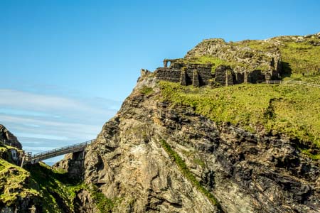
The Keep, Tintagel Castle, Cornwall |
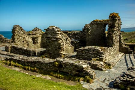
The Island Courtyard and Great Hall, Tintagel Castle,
Cornwall |
|
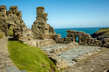
The Island Courtyard and Great Hall, Tintagel Castle,
Cornwall |
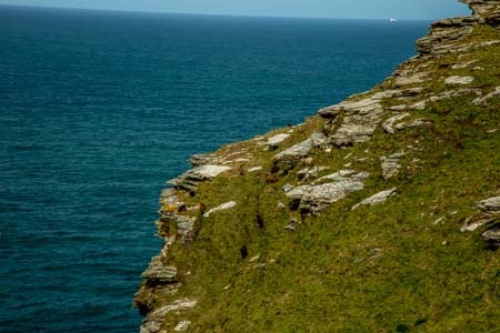
Sheep and lambs perilously close to the cliff edge,
Cornwall |
|
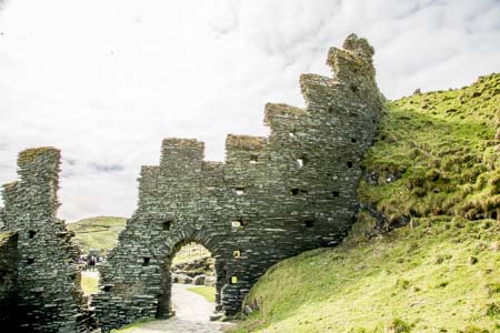
The Island Courtyard and Great Hall, Tintagel Castle,
Cornwall |
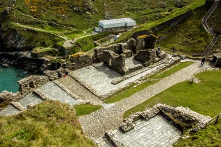
The Island Courtyard and Great Hall, Tintagel Castle,
Cornwall |
After nearly two hours we made our way back to the car. On
the way we bought Cornish pasties from a local bakery (₤2.95
each) for lunch. I had always thought Cornish pasties had no
meat in them, just vegetables, but all the shops in Cornwall
seem to sell pasties with beef in them.
After lunch we set out for Padstow. I saw a turnoff to Port
Isaac and vaguely remember Tony Gill telling me that was where
the Doc Martin TV series was filmed. So we had a change of plan
and headed for Port Isaac. We arrived at about 1:00pm, were
given a free all day parking ticket, by a young lady who had no
further use for it and set off down the hill to the old village.
Not surprisingly, it looked just as it did in the TV series.
Only the names on the shops etc were changed.
|
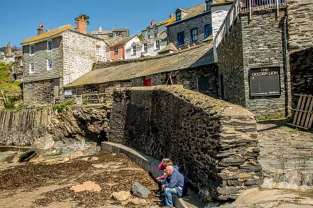
Port Isaac, Cornwall |
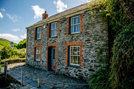
"Doc Martin's House & Surgery," Port Isaac, Cornwall |
|
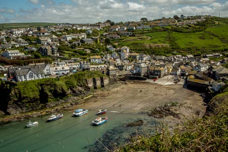
Port Isaac, Cornwall |
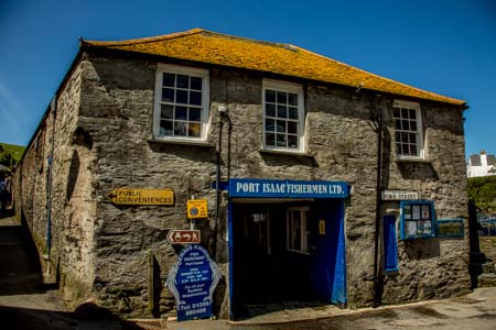
Port Isaac, Cornwall |
|
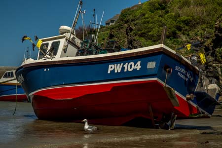
Port Isaac, Cornwall |
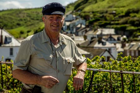
Captain Newland, Port Isaac, Cornwall |
I have a photo competition coming up in a few months time for
which the set topic is "Rust." There was rust everywhere in Port
Isaac and I took plenty of photos of rusty anchors and chains
etc. for future use.
We left Port Isaac at about 3:00pm. The GPS in the car took us
down nearly every "goat track" in Cornwall to get us home. Some
of these roads were only one car width wide for hundreds of
metres, with 2-3metre high hedges along each side. Much to my
surprise every road we have been on ("goat tracks" included)
have been sealed and in excellent condition. No dirt roads in
this part of the world!
|
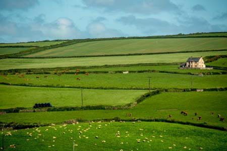
Looking across fields from the carpark, Port Isaac,
Cornwall |
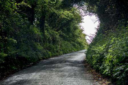
Narrow "Goat Track," Port Isaac to Bodinnick, Cornwall |
|
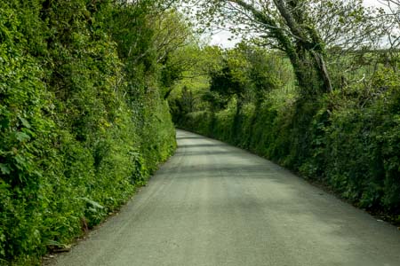
Another narrow "Goat Track," Port Isaac to Bodinnick, Cornwall |
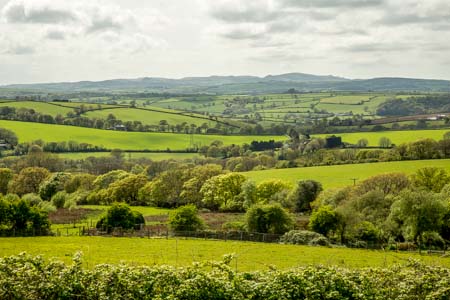
Farmland just outside Bodinnick, Cornwall |
We arrived back at Bodinnick at about 4:15pm and had Dinner
at The Old Ferry Inn. Sunday
10 May 2015,
There was fog over Fowey when we woke this morning and it
remained overcast everywhere we drove, but there was no rain. We
checked out of The Old Ferry Inn at about 9:15am and took our
luggage down the narrow winding stairs from the top floor to
street level.
We set the GPS for Bath and headed off. We left Cornwall the
same way we entered it, through a dirty great big tunnel, which
I guess is the way the Cornish tin miners would like it; through
a mine shaft. We crossed the Tamar Bridge (₤1.50 toll) at
Plymouth and headed towards Exeter. We ended up on the M5 which
was quite a change to some of the roads we have been down in the
last few days.
Before we reached Bath we changed our minds and headed to
Glastonbury and Wells in Somerset. We missed Glastonbury the
first time through and ended up in Wells instead. After
mistaking St Cuthbert's Church for the cathedral we eventually
found the real cathedral. It was pretty impressive but nothing
on Salisbury Cathedral. Note to self: Concentrate!
|
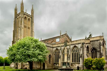
St. Cuthbert's Church, Wells, Somerset |
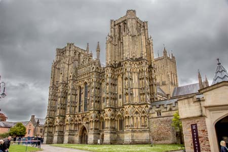
Wells Cathedral, Somerset |
|
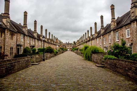
Vicars' Close next to Wells Cathedral, Somerset |
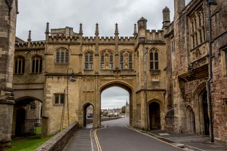
The Chain Gate (1460) next to Wells Cathedral, Somerset |
We had a freshly baked roll and some cheese for lunch and
headed back to Glastonbury. We climbed the Tor, took a few
photos and came down again. On the way up and down we chatted
with a number of other climbers. I am amazed and how friendly
the people in England are. Leo in Lacock was a delight to chat
with as were all these people climbing the Tor. There are people
in other parts of the world where we have traveled who would
have just ignored us.
|
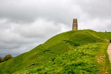
St Michael's Tower atop the Tor, Glastonbury, Somerset |
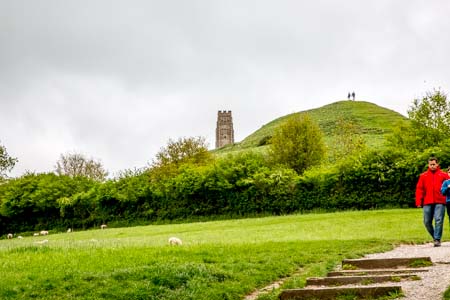
St Michael's Tower atop the Tor, Glastonbury, Somerset |
|
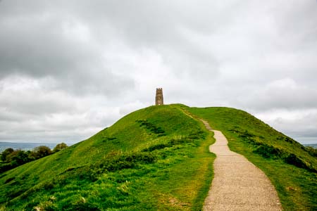
St Michael's Tower atop the Tor, Glastonbury, Somerset |
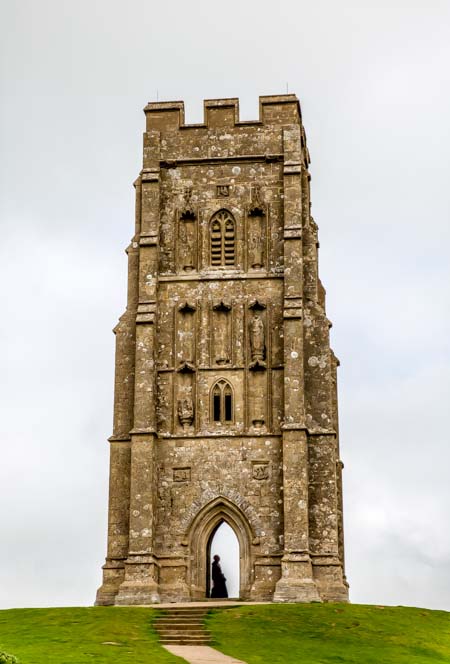
St Michael's Tower, Glastonbury, Somerset |
It was about 3:00pm and so we headed to Bath. We took photos of the Circus
and the Royal Crescent. We drove past the Roman Baths, not
realising the road was closed, and managed to take some
unobstructed photos.
|
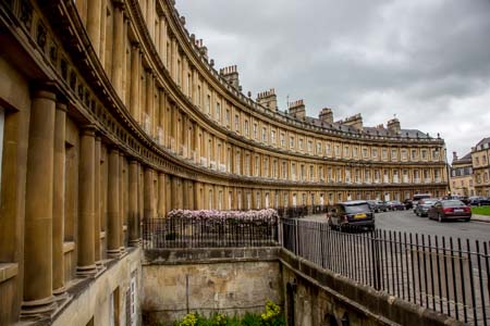
The Circus, Bath, Somerset |
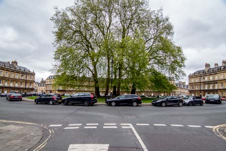
The Circus, Bath, Somerset |
|
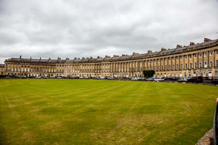
The Royal Crescent, Bath, Somerset |
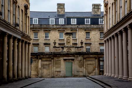
The Baths, Bath, Somerset |
We filled the car with diesel, and nearly died at the price.
45.12 litres of diesel at ₤1.219 per litre came out at ₤55.00. I
have seen diesel as low as 118.9 per litre and I will have to be
more diligent the next time I go looking for bargain priced
fuel.
We then headed for The Village Pub in Barnsley which is where we
are staying for the next two nights. Our room is up only one
flight of stairs which makes a pleasant change. Our room is
beautiful and has free WiFi in the room. The only window
overlooks the gravel covered carpark at the back, and so there is no view to
speak of.
|
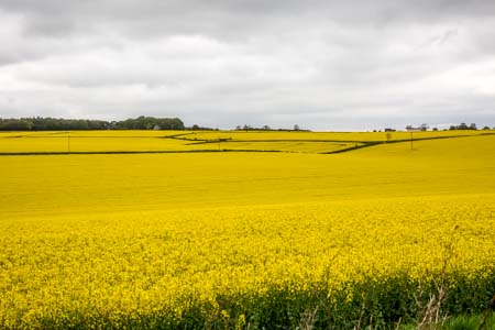
Fields of Rapeseed brighten up the countryside,
Gloucestershire |
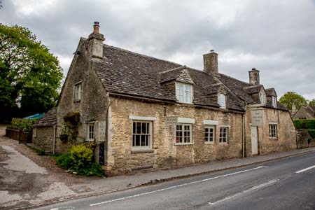
The Village Pub, Barnsley, Gloucestershire |
Dinner was at 6:00pm and we both had Black Angus beef pies, with
spinach and mashed potato. It is the first time I have actually
liked spinach. I tried a "half" of Premium Cotswold Lager which
was server cold and had bubbles. It was very pleasant. I
next tried the Butty Bach Premium Ale from the Wye Valley
Brewery. This was served at room temperature and was flat (no
bubbles.) and rates quite poorly on my scale of things.
Monday
11 May 2015,
We finished breakfast and were on the road by about 8:30am. The
waitress serving breakfast suggested we visit Bibury, which is
just up the road. She also said we should get there early before
the crowds. She said there were a lot of Japanese tourists in
the area. Bibury was beautiful with its solid stone buildings
and the stream that flowed slowly past which is partially covered
with duck weed.
|
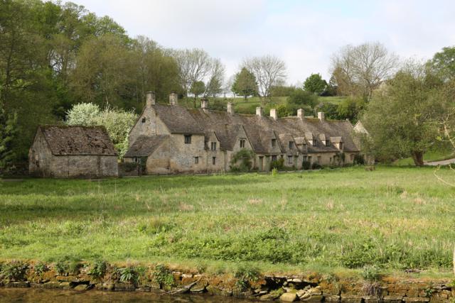
Houses in Bibury, Gloustershire |
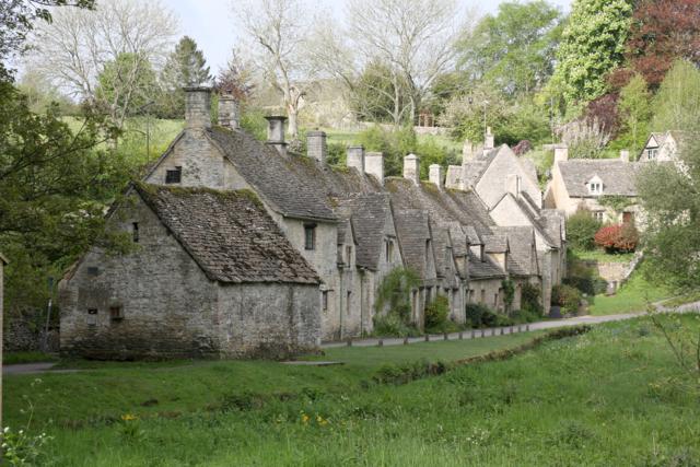
Houses in Bibury, Gloustershire |
From Bibury we traveled north West through Coltswold
Hills and through the small villages of Ablington, Winson,
Calcot and then Coln St. Dennis. We then headed back to
Cirencester.
We then decided to drive to Oxford which was only about an hour
away. As we approached Oxford the countryside became quite plain
in comparison to the Cotswolds.
|
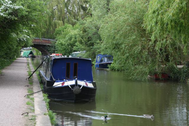
Narrow boats on canal, Oxford, Oxfordshire |
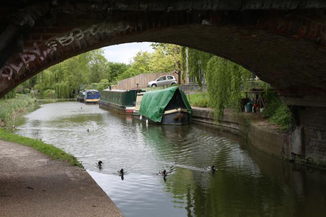
Narrow boats on canal, Oxford, Oxfordshire |
|
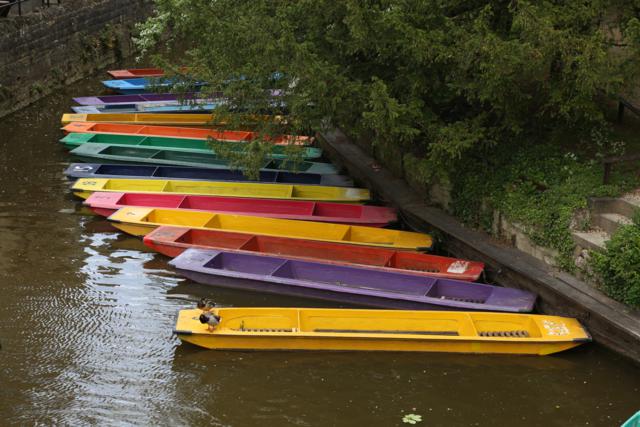
Punts on the river taken from Magdalen Bridge, Oxford, Oxfordshire |
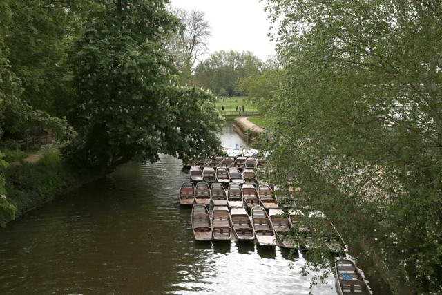
Punts on the river taken from Magdalen Bridge, Oxford, Oxfordshire |
We past numerous Colleges as we drove around, hoping to
recognise some place we had seen in the TV series Morse or
Lewis. But nothing was familiar. We saw a number of punts on the
river, but the water was mirky and sort in green colour and not
conducive to going for a ride. After driving around Oxford for
awhile doing battle with the buses, cars, cyclists and
pedestrians we decided to head back to the calm of Barnsley.
From here we once again headed off into the Cotswold Hills and
drove through Daglingworth, through all the Duntisbournes
(Rouse, Middle, Leer and Abbots) then to Winstone and Miserden.
The roads were narrow (goat tracks) but paved. Many had 5' high
dry stone walls on either side of them. The workmanship of these
walls was unbelievable. The farming country behind these walls
was mainly for dairy cattle, horses and sheep. Occasionally
there would be a vast area of bright yellow rapeseed set in the
green landscape. I thought is was canola but it is actually
rapeseed. Canola was created through plant-breeding in order to
get rid of two undesirable components of rapeseed.
I'm convinced William Wordsworth got it all wrong when he wrote
his poem "I Wandered Lonely as a Cloud." There were no daffodils
just rapeseed!
"I wandered lonely as a cloud
That floats on high o'er vales and hills,
When all at once I saw a crowd,
A host of golden rapeseed;"
I always like history to be correct.
|
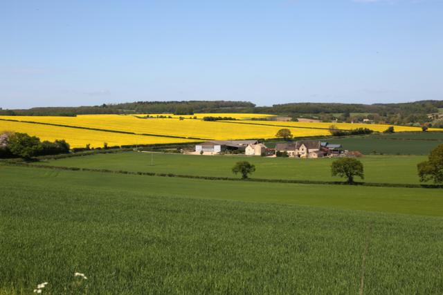
Rapeseed fields in Cotswold Hills near Bibury,
Gloustershire |
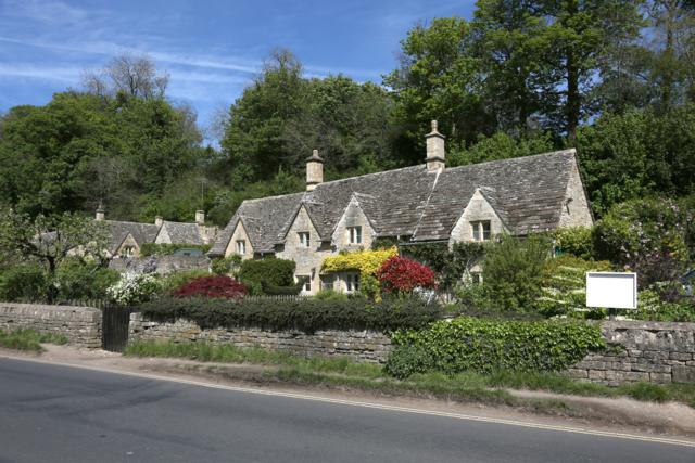
Houses in Bibury, Gloustershire |
|
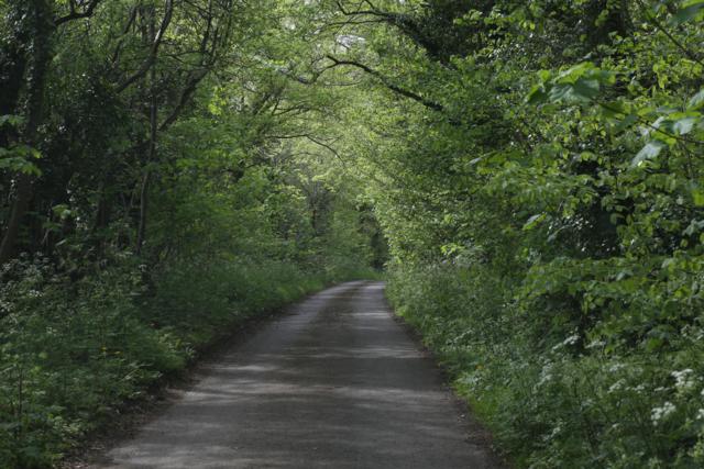
Road in Cotswold Hills near Duntisbourne, Gloustershire |
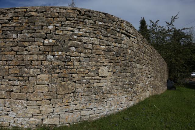
Dry stone wall in Cotswold Hills near Duntisbourne,
Gloustershire |
|
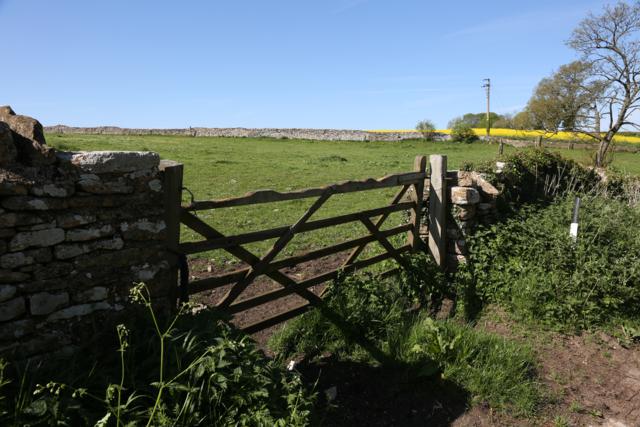
Field near Duntisbourne, Gloustershire |
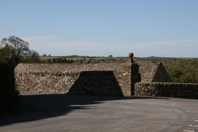
Stone walls and roofs in Cotswolds |
When we got back to the hotel I found that I had left my
camera SD card in my laptop computer. I wasn't too worried as
the Canon 5D Mk3 uses two cards, a SD card and a CF card. I have
mine set up so that JPGs are stored on the CF card and Raw files
on the SD card. I use the Raw files with Lightroom and hadn't
bothered to look at the JPGs. Today's photos should at least
have been stored on the CF as JPGs. When I checked I found that
the card had been corrupted somehow and I couldn't access any
JPGs for our trip so far. I downloaded a program that would
restore them. It worked wonderfully well. As well as finding
this trip's photos, it found photos from our trip to Morocco two
years ago, it found photos from the Port Fairy Folk festival and
it found photos from the Olive Branch in January of this year.
Although it must have been formatted two or three times the
files were still there!
Confident that I had recovered my files from today's photo
shoot, I now found that I was required to pay US$80 if I wanted
to "save" them. I paid the money and saved my photos. Lesson
learned about corrupt files and formatting cards!
For dinner we had the same Black Angas Beef pies but I washed it
down with some Butcombe Brewery, Bohemia artisan, Czech style
Pilsener, and some lion, Pride of the Cotswolds, Complexed,
Balanced, refreshing beer (room temperature and flat) by Hook
Norton. |